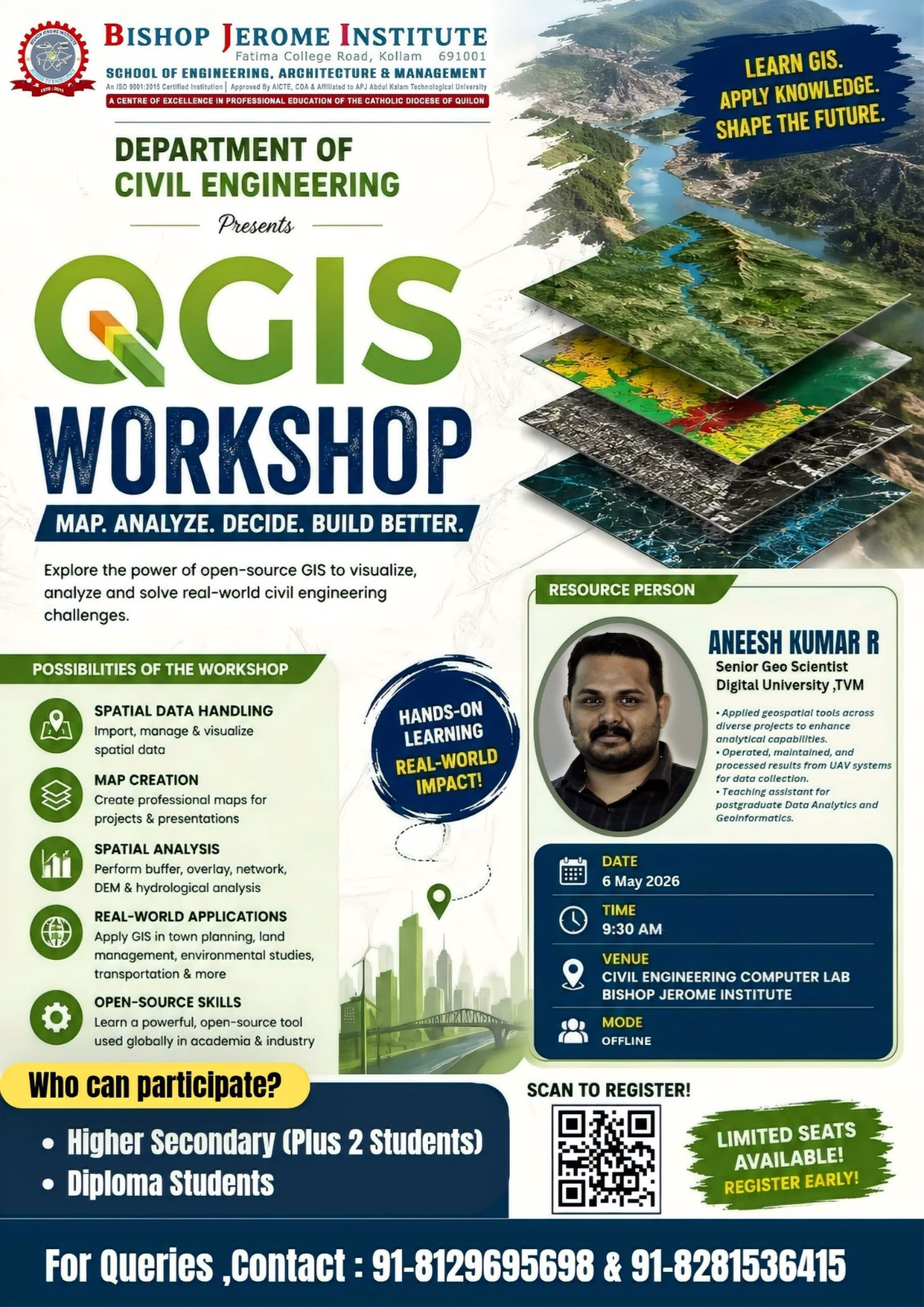
Kollam: The Department of Civil Engineering at Bishop Jerome Institute (BJI) is set to organize a comprehensive workshop on QGIS (Quantum Geographic Information System), aimed at empowering the next generation of engineers with essential geospatial skills. The event is scheduled to take place on 6 May 2026 at the Civil Engineering Computer Lab.
The workshop, themed "Map. Analyze. Decide. Build Better," is specifically designed for Higher Secondary (Plus 2) and Diploma students. It offers a unique opportunity for participants to explore the power of open-source GIS software to visualize and solve real-world civil engineering challenges.
Event Highlights
The session will provide hands-on learning experiences focusing on several core areas:
Spatial Data Handling: Techniques for importing, managing, and visualizing spatial data.
Map Creation: Developing professional maps for academic projects and industry presentations.
Spatial Analysis: Performing advanced operations like buffer, overlay, network, and hydrological analysis.
Real-World Applications: Understanding how GIS is applied in town planning, environmental studies, and transportation management.
Resource Person
The workshop will be led by Mr. Aneesh Kumar R, a Senior Geo Scientist from Digital University, TVM. Mr. Kumar brings extensive expertise in geospatial tools, UAV systems for data collection, and teaching experience in Data Analytics and Geoinformatics.
Event Details
Date: 6 May 2026
Time: 9:30 AM
Venue: Civil Engineering Computer Lab, Bishop Jerome Institute, Kollam
Mode: Offline
Registration Information
With a focus on providing quality individual attention, seats for the workshop are limited. Interested students are encouraged to register early by scanning the QR code provided on the event posters.
For further queries, please contact:
+91 8129695698
+91 8281536415
Stay tuned to our official website for more updates on upcoming academic events and workshops.